
Digital tools do not automatically produce meaningful interpretation. What they can do—when used with discipline—is force clarity about audience, theme, and purpose. This is why I have begun using ESRI ArcGIS StoryMaps as a core interpretive platform in my graduate course CMST6307: Interpretation of Historic Sites at George Washington University.
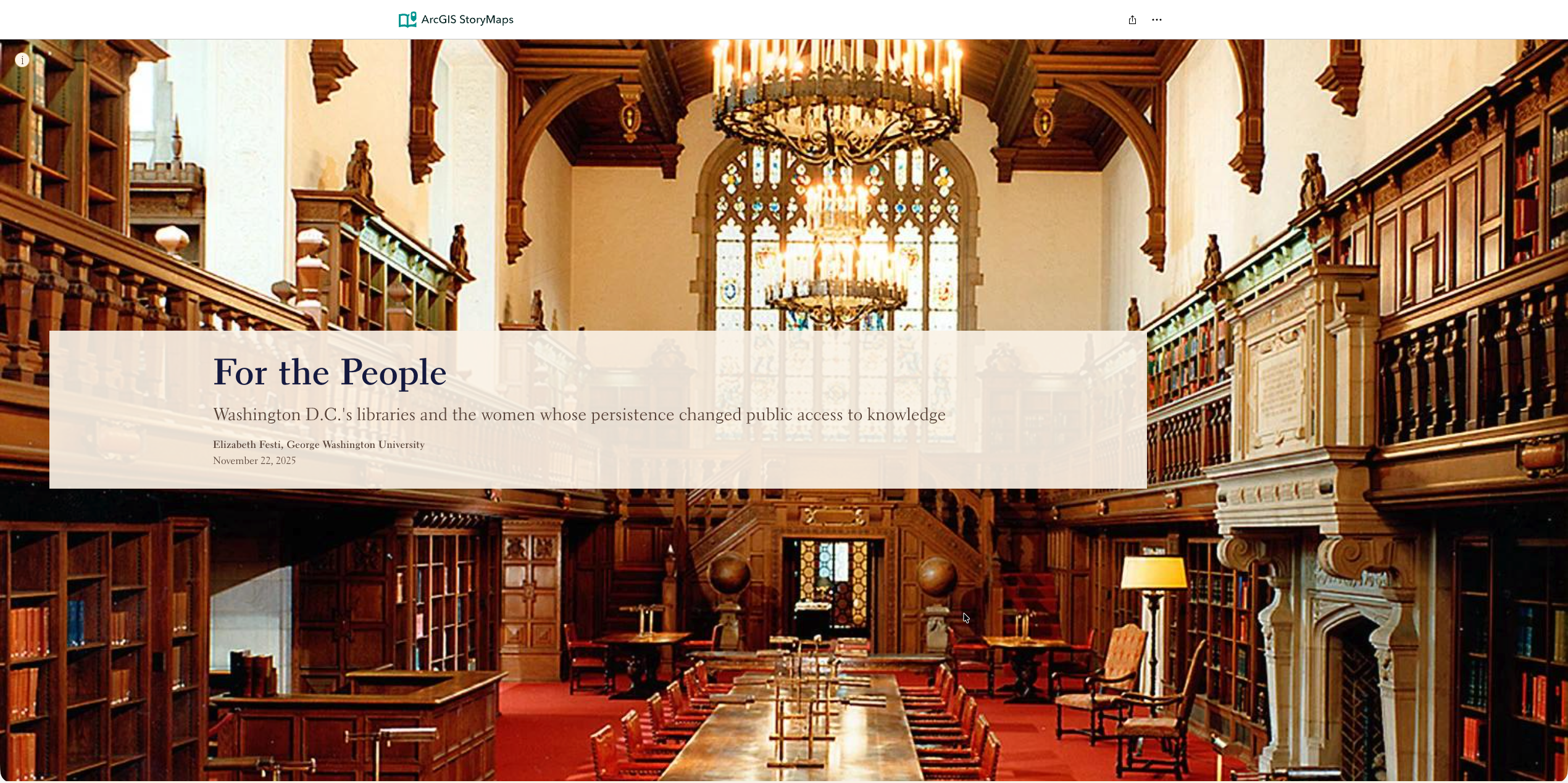
This fall, students were commissioned—within a realistic professional scenario—to create StoryMaps interpreting the history of women in Washington, DC. Each project connected five or six historic sites through a coherent theme, tailored to a specific public audience. The results demonstrate how StoryMaps can function not as digital scrapbooks, but as public-facing interpretive products grounded in professional standards.
I’m incredibly proud of what they accomplished, but this isn’t a showcase of student work for its own sake. It’s a case study in how digital storytelling platforms can support the interpretation of historic sites and house museums.
A Professional Product, Not a Classroom Exercise
The assignment was framed as a hypothetical consulting project for the White House Historical Association. Students were told: “The StoryMap should connect 5–6 historic sites through a coherent theme, tailored to a specific audience. It should demonstrate professional standards in historical research, interpretive writing, and digital design.”
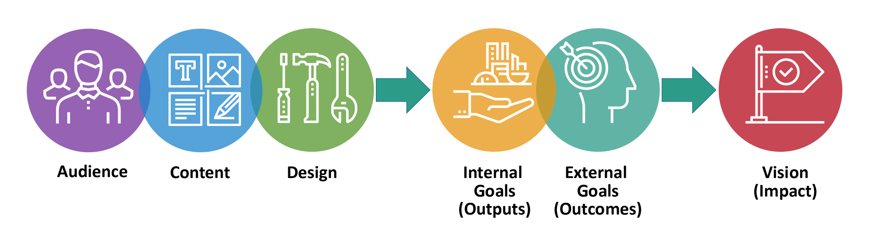
From the beginning, the emphasis was not on technology, but on interpretation. Each student had to demonstrate the integration of three core elements: audience, content, and design.
Continue reading
